Site Investigation, Digital Imagery Analysis – Connecting Sustainable Energy to the Grid
CGL was commissioned by Morgan Sindall Infrastructure (MS) in collaboration with Baker Hicks to undertake intrusive ground investigation works on the Fort Augustus to Skye overhead line (OHL) Reinforcement project (LT91), which was falling into disrepair.
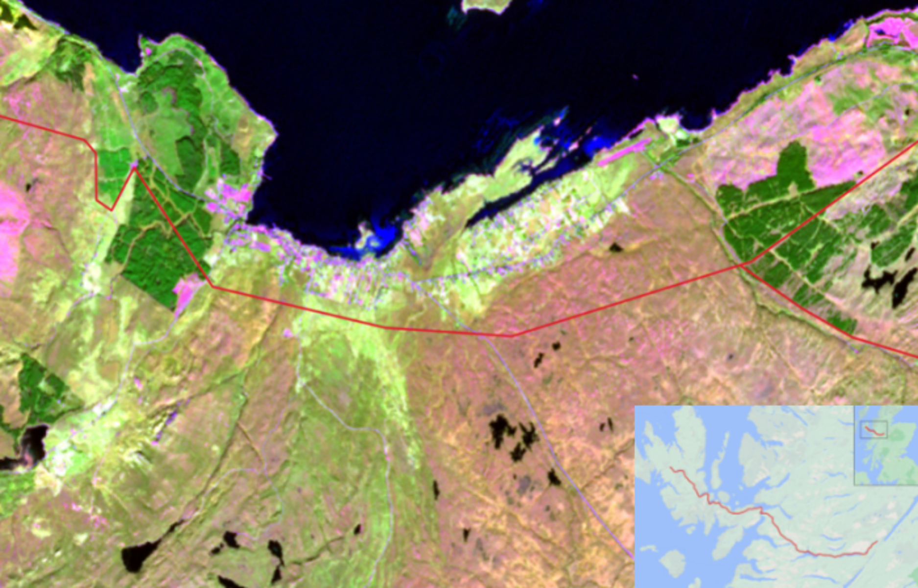
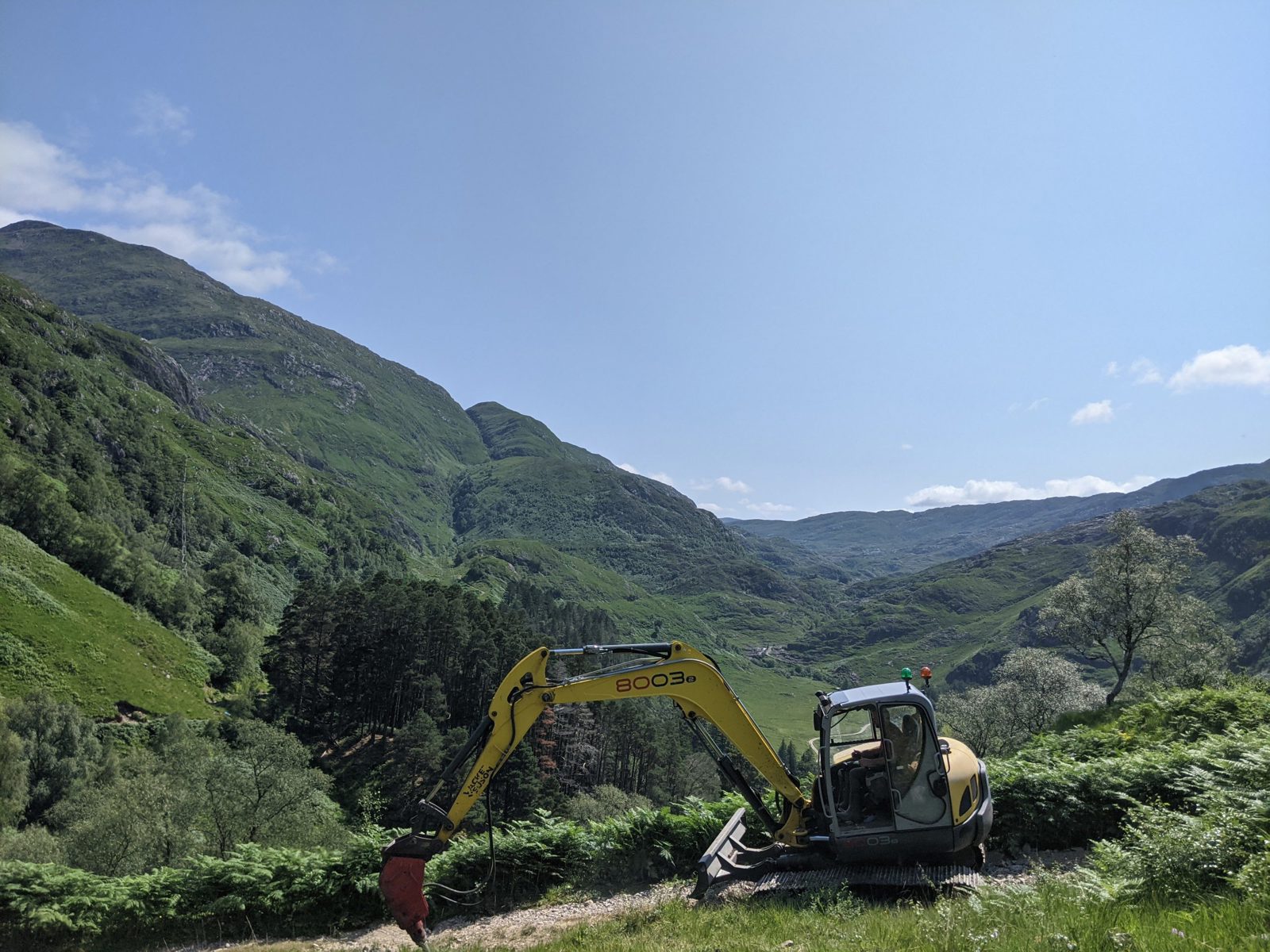
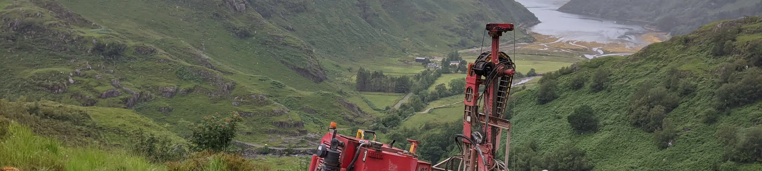
The route is the longest-ever linear project in the UK at 160km running from Edinbane substation, Isle of Skye to Auchterawe substation situated in Fort Augustus. The project presented every conceivable challenge to a ground investigation logistically, geologically and in terms of risk management over unmapped terrain in some of the most remote, inaccessible, and mountainous terrain in the UK within sensitive land areas, passing through two National Scenic Areas of Scotland. Geotechnically the project investigated some of the oldest rocks on the planet and the most variable rock terrains in the UK. The investigation comprised 435 borehole locations, 457 trial pits and over 2000 peat probes.
Large sections of the route have very poor geological base mapping due to their remoteness, with many inconsistencies noted from the BGS mapping. CGL utilised Geographic Information Systems (GIS) modelling in tamden with a traffic light system for site walkovers to anticipate ground and terrain conditions giving the client an indication of the likely costs associated with the most significant risk item regarding the cost of mobilising from one tower to the next and identify areas where alternative accesses, winching operations or temporary works may be required before mobilising to site.
CGL conducted continual digital imagery analysis (LiDAR) to determine viable terrain access routes that rigs could mobilise over. SENSAT and GIS imagery was utilised to optimise route selection between towers by identifying where deep peat deposits were likely to be encountered. Engineers then probed routes before the plant mobilised to the next position to confirm route selection. Other innovative techniques were utilised, including landing craft to access positions from water where access over land would have been more difficult.
Given the uncertainty in the ground conditions, a decision flow chart was developed in agreement with the client’s design team to advise how boreholes should progress based on conditions encountered, such as peat and shallow bedrock. This approach enabled the site team to work independently and revise the scope of the investigation based on actual findings of the boreholes whilst working in remote locations with limited cellular reception. It ensured that the investigation obtained the required parameters for the foundation design team without holding up the programme of works. This flexible approach provided a value-engineered solution, so over-onerous investigations were not undertaken.
Two sections of the route at Sligachan and Fort Augustus were to be installed with underground cable to reduce the visual impact of the OHL, requiring CGL to provide in-situ and laboratory thermal resistivity testing at each of the 201 trial pits along the routes.
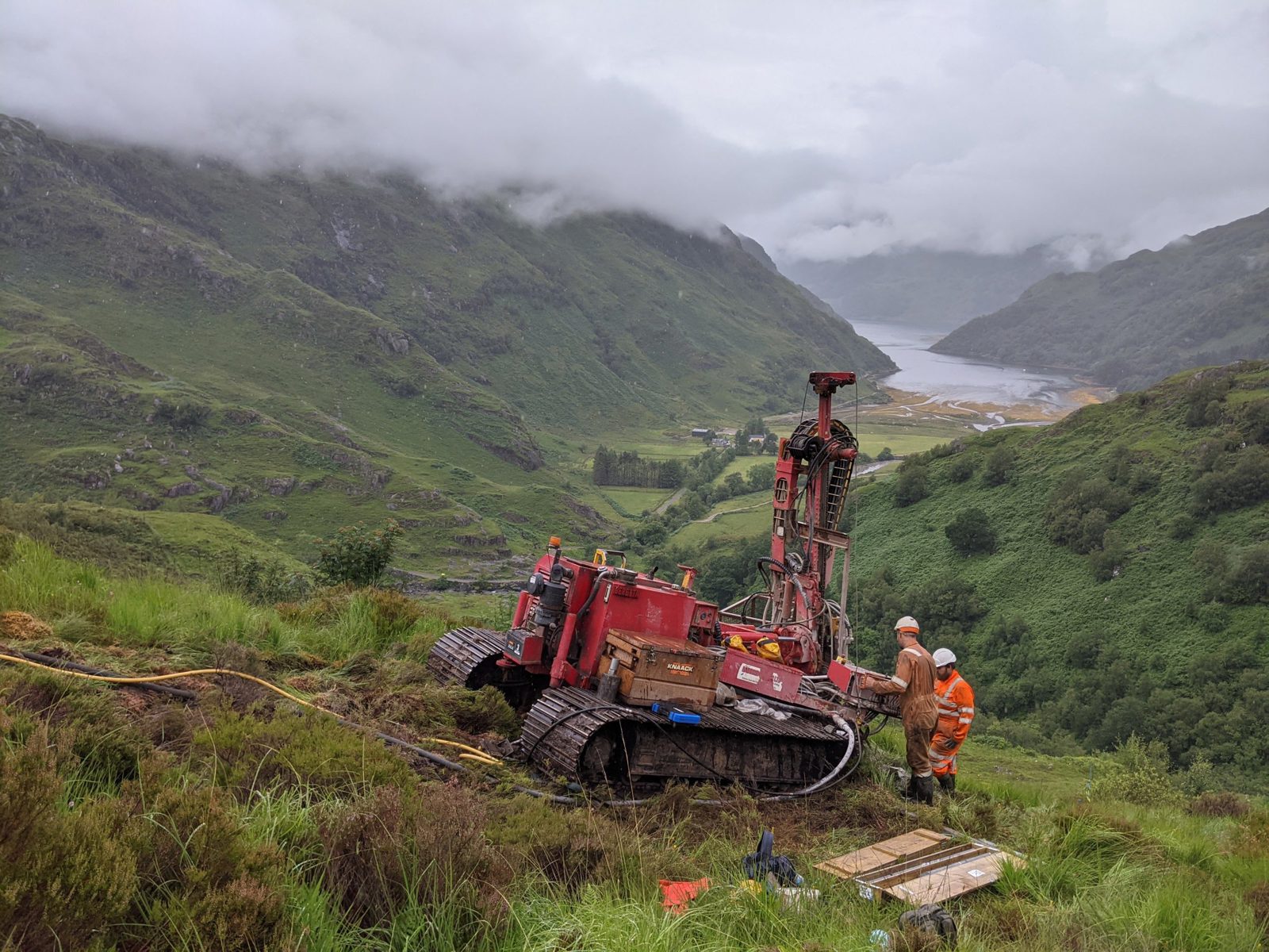
As works progressed, CGL also provided investigations to assist with early testing of rock suitability at proposed borrow pit locations for stone access tracks and concrete batching and peat probing to assist access route decisions. Taking over 1800 Schmidt hammer readings. Following the completion of site work, CGL produced a Geotechnical Ground Investigation Report and a Factual Report for each of the six sections investigated, as well as four Factual Reports for Ground Investigation undertaken at Broadford and Edinbane Substations, Access Works at Luib and Sligachan and Borrow Pit Investigations across the route, including AGS data.