CGL has developed its Digital Imagery consultancy provision offering the visualisation, analysis and interpretation of high-resolution satellite imagery and LiDAR surveying data to provide an overview of development sites.
What Is LiDAR Surveying?
Although LiDAR has been in the academic world for several years, CGL has identified the benefit this technology brings to its clients, offering considerable cost and time savings, replacing the traditional site walk over with innovative digital imagery analysis.
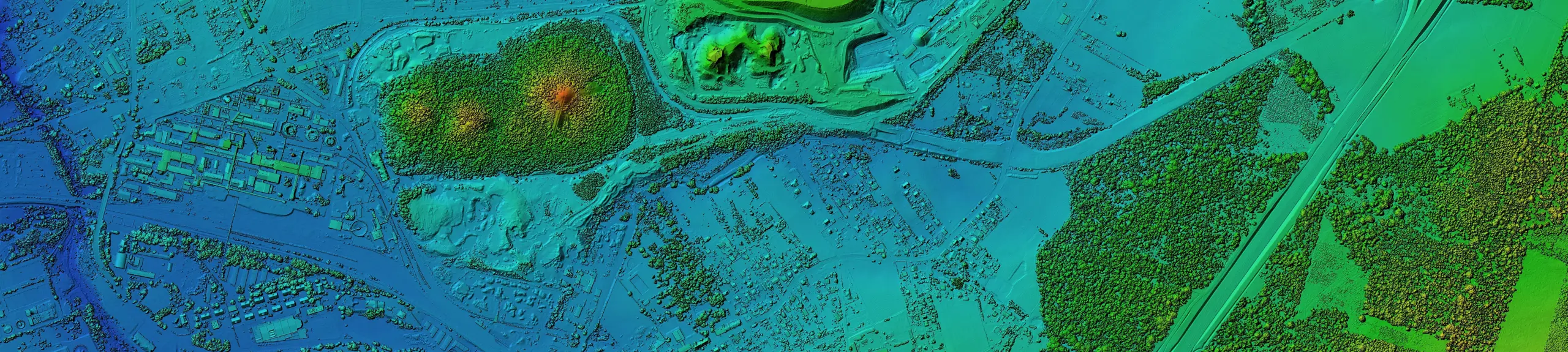
LiDAR surveying data is a very accurate model of the earth’s surface. The data is captured by firing rapid laser pulses at the ground.
By examining the laser energy reflected back, the land surface is captured as a dense cloud of 3D points and converted into highly detailed elevation models.
By processing the reflections from both the ground surface and the vegetation canopy, it is possible to derive both Digital Terrain Models (DTM) of the bare earth surface and Digital Surface Models (DSM) that show the vegetation canopy.
LiDAR surveying data, which ranges in ground resolution from 2m to 25cm, can be used for:
- Surface Water Modelling
- Flood Hazard Modelling
- Geomorphological Assessment
- Geological Hazard Identification
Why Use LiDAR Surveying?
LiDAR surveying can identify areas of slope instability and variable ground conditions across large areas, which would be of benefit in de-risking sites for potential ground hazards, and providing enhanced, detailed surface mapping for proposed projects.
Mapping of these hazards using LiDAR surveying through the digital images will enable targeted intrusive surveys for design purposes, thereby reducing potentially high costs of time-consuming walkover surveys and minimising the frequency of excavations and boreholes.
LiDAR surveying facilitates a comprehensive geographic information system (GIS) analysis and visualisation of potential slope drainage and surface water flow pathways.

Prevention Of Risks On Site
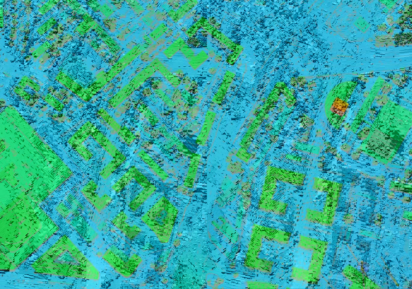
DTMs provide high-resolution bare earth models of the terrain surface suitable for geomorphological interpretation and geological hazard identification made possible through LiDAR surveying technology. The combination of models and data filters provide an optimum method for landslide mapping and other geohazard delineation.
Features detected using elevation models:
- Irregular topography suggestive of historic landslides allowing sites to be replanned or foundations and earth retaining structures to be strengthened.
- Depressions identified, highlighting potential risks to foundations from solution features.
- Subsidence and evidence of former mineral extraction and quarrying allowing early site zoning for risk mitigation.
- Past watercourses identified to allow site drainage optimisation.

Hydrological models, enriched by LiDAR surveying data are applied for vital early-stage site investigation data for site layout plans and drainage requirements. These models can detect:
- Slope drainage for potential diversion or control
- Wet areas and water accumulation zones for specific drainage consideration
- General water runoff pathways to be controlled, augmented, or diverted.
From the initial hillshade image a geomorphological interpretation can be made identifying problematic landforms and ground features requiring further investigation.
Why Choose CGL For Digital Imagery Analysis?
At CGL, we offer a comprehensive digital imagery consultancy including the visualisation, analysis and interpretation of high-resolution imagery and LiDAR surveying data.
We understand the importance and advantages that LiDAR surveying offers in providing clients with significant cost and time savings, identification of hazards and risk mitigation.
CGL is a specialist geotechnical and geoenvironmental consultancy, delivering industry leading services for a wide range of clients. We provide advice and design solutions on a broad range of ground-related issues, working directly with site developers or their design and construction teams.
Our experienced and accredited team of geotechnical and geoenvironmental specialists strive to ensure that all our clients receive an efficient and accurate Digital Imagery Analysis and in particular, LiDAR surveying service enabling them to proceed with their projects and meet their objectives in a timely manner.
“Many of the software, tools and techniques available to process and present digital imagery are very well established but what is exciting is that the data required to undertake such analyses are now readily available at scales and resolutions relevant to ground engineering and project scale site studies; presenting opportunities for rapid ground assessment and geohazard delineation as a tool for de-risking development sites.“
Dr David Giles Technical Director